أود أن أشارك معكم اليوم مشروعًا غيّر كيف أنهج وأمارس الهندسة المعمارية: مشروع إعادة تأهيل نهر فاس. مدينة منشئي فاس بالمغرب تباهي بأحد أكبر المدن القديمة المسوّرة في العالم، والمسماة بالمدينة، وتقع في وادٍ نهري. المدينة بأكملها هي موقع تراث عالمي لليونسكو. منذ الخمسينات، مع نمو سكان المدينة، البنية التحتية الأساسية كالمساحات الخضراء المفتوحة والصرف الصحي تغيرت بسرعة وأجهدت بشدّة. أحد أكبر ضحايا هذا الوضع كان نهر فاس، والذي ينصّف المدينة من وسطها واعتبر لقرون عدّة روح المدينة. في الواقع، يمكن للمرء أن يلحظ وجود شبكة النهر المائية الممتدة من خلال كل المدينة، في أماكن كالنوافير العامة والخاصة. للأسف، بسبب تلوث النهر تمت تغطيته قليلا قليلا بألواح خرسانية منذ 1952. عملية المحو هذه رافقها تدمير بيوت عدة على ضفاف النهر للسماح للآلات بالدخول في شبكة المشاة الضيقة في المدينة. هذه الفجوات المدنية صارت بسرعة مواقف غير قانونية أو ساحات قمامة. في الحقيقة، حالة النهر قبل دخول المدينة صحية جدًا. ثم يجيء أثر التلوث، بالأساس بسب الصرف الغير معالج والمهملات الكيميائية من حرف كالدباغة. في لحظة معينة، لم أستطع تحمل تدنيس النهر، كونه جزء مهمًا من مدينتي، وقررت العمل، خصوصا بعد أن سمعت أن المدينة استلمت منحة لإبعاد مياه الصرف ولمعالجتها. بماء نظيف، فجأة، أصبح كشف النهر ممكنا، وبالحظ والكثير من الدفع، أنا وشريكي تاكاكو تاجيما تفوّضنا من قبل المدينة للعمل مع فريق من المهندسين لكشف النهر. ولكننا كنا ماكرين وطلبنا المزيد: تحويل ضفاف النهر لمماشي وشبك هذه المماشي مع نسيج المدينة وأخيرا تحويل الفجوات المدنية على ضفاف النهر إلى مساحات عامة والتي تنقص مدينة فاس. سأريكم بسرعة الآن اثنتين من هذه الساحات. الأولى هي "الرصيف بلازا"، والواقعة فوق النهر بالضبط، والذي تستطيعون رؤيته هنا في الخطوط المقطعة. كانت الساحة سابقا مركز تنقل فوضوي انتهك من الكمالية المدنية للمدينة، التي تحوي أكبر شبكة مشاة في العالم. وخلف الجسر التاريخي الذي ترونه هنا، بجانب الساحة، تستطيعون رؤية أن النهر كان يبدو كنهر من القمامة. في محل ذلك ما اقترحناه هو جعل الساحة خاصة بالمشاة بالكامل، تغطيتها بمظلات جلد معاد تدويرها، ووصلها بضفاف النهر. ثاني مواقع التدخل هو أيضا فجوة مدنية على ضفاف النهر، وكانت موقف سيارات غير قانوني، واقترحنا تحويله لأول ساحة لعب في المدينة. الساحة بنيت باستخدام عجلات معاد تدويرها ويرافقها هور اصطناعي الذي لا ينظف مياه النهر وحسب بل يحافظ عليها حين تفوض. مع تطور المشروع وحوزه على عدة جوائز تصميم، تدخّل مساهمون جدد وغيروا أهداف المشروع وتصميمه. الطريقة الوحيدة لنا لإعادة الأهداف الأساسية للمشروع للمقدمة كان أن نفعل أمرا غير اعتيادي والذي لا يفعله المعماريون في العادة. كان هو أن نأخذ غرورنا بتصاميمنا وحسّنا الإبداعي ورميه جانبا والتركيز أساسا على كوننا نشطاء وعلى محاولة توحيد جميع الأجندات لأصحاب المصلحة والتركيز على الأهداف الرئيسية للمشروع: أي كشف النهر ومعالجة مياهه، وتوفير الساحات العامة للجميع. كنا في الواقع محظوظين جدا والعديد من تلك الأهداف قد تحققت أو في طور التحقق. مثلا ترون هنا في الرصيف بلازا. هذا كان شكله قبله سنوات. هذا هو اليوم. لا زال قيد الإنشاء، لكنه مستخدم بكثافة من قبل السكان المحليين. أخيرا هكذا سيكون شكل الرصيف بلازا عند إنهاء المشروع. هذا هو النهر، مغطى، مستخدم كساحة قمامة. بعد سنوات من العمل، النهر بمياه نظيفة، مكشوف. أخيرا، تستيطعون رؤية النهر هنا عند إكمال المشروع. لذا بالتأكيد، إعادة تأهيل نهر فاس ستتغير وتتأقلم وفقا للصورة السياسية الاجتماعية للمدينة، لكننا نؤمن بشدة أنه بإعادة تصور دور وعمل المعماري أقمنا الفكرة المحورية للمشروع وهي تحويل النهر من مجاري لمساحة مفتوحة للكل، وبذلك ضامنين أن مدينة فاس ستبقى حية لسكانها عوضا عن إرث محنط. شكرا جزيلا لكم. (تصفيق)
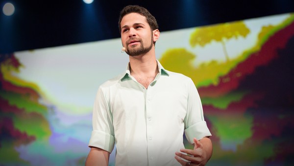
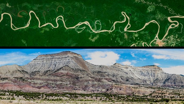
I would like to share with you today a project that has changed how I approach and practice architecture: the Fez River Rehabilitation Project. My hometown of Fez, Morocco, boasts one of the largest walled medieval cities in the world, called the medina, nestled in a river valley. The entire city is a UNESCO World Heritage Site. Since the 1950s, as the population of the medina grew, basic urban infrastructure such as green open spaces and sewage quickly changed and got highly stressed. One of the biggest casualties of the situation was the Fez River, which bisects the medina in its middle and has been considered for many centuries as the city's very soul. In fact, one can witness the presence of the river's extensive water network all throughout the city, in places such as private and public fountains. Unfortunately, because of the pollution of the river, it has been covered little by little by concrete slabs since 1952. This process of erasure was coupled with the destruction of many houses along the river banks to be able to make machineries enter the narrow pedestrian network of the medina. Those urban voids quickly became illegal parking or trash yards. Actually, the state of the river before entering the medina is pretty healthy. Then pollution takes its toll, mainly due to untreated sewage and chemical dumping from crafts such as tanning. At some point, I couldn't bear the desecration of the river, such an important part of my city, and I decided to take action, especially after I heard that the city received a grant to divert sewage water and to treat it. With clean water, suddenly the uncovering of the river became possible, and with luck and actually a lot of pushing, my partner Takako Tajima and I were commissioned by the city to work with a team of engineers to uncover the river. However, we were sneaky, and we proposed more: to convert riverbanks into pedestrian pathways, and then to connect these pathways back to the city fabric, and finally to convert the urban voids along the riverbanks into public spaces that are lacking in the Medina of Fez. I will show you briefly now two of these public spaces. The first one is the Rcif Plaza, which sits actually right on top of the river, which you can see here in dotted lines. This plaza used to be a chaotic transportation hub that actually compromised the urban integrity of the medina, that has the largest pedestrian network in the world. And right beyond the historic bridge that you can see here, right next to the plaza, you can see that the river looked like a river of trash. Instead, what we proposed is to make the plaza entirely pedestrian, to cover it with recycled leather canopies, and to connect it to the banks of the river. The second site of intervention is also an urban void along the river banks, and it used to be an illegal parking, and we proposed to transform it into the first playground in the medina. The playground is constructed using recycled tires and also is coupled with a constructed wetland that not only cleans the water of the river but also retains it when floods occur. As the project progressed and received several design awards, new stakeholders intervened and changed the project goals and design. The only way for us to be able to bring the main goals of the project ahead was for us to do something very unusual that usually architects don't do. It was for us to take our design ego and our sense of authorship and put it in the backseat and to focus mainly on being activists and on trying to coalesce all of the agendas of stakeholders and focus on the main goals of the project: that is, to uncover the river, treat its water, and provide public spaces for all. We were actually very lucky, and many of those goals happened or are in the process of happening. Like, you can see here in the Rcif Plaza. This is how it looked like about six years ago. This is how it looks like today. It's still under construction, but actually it is heavily used by the local population. And finally, this is how the Rcif Plaza will look like when the project is completed. This is the river, covered, used as a trash yard. Then after many years of work, the river with clean water, uncovered. And finally, you can see here the river when the project will be completed. So for sure, the Fez River Rehabilitation will keep on changing and adapting to the sociopolitical landscape of the city, but we strongly believe that by reimagining the role and the agency of the architect, we have set up the core idea of the project into motion; that is, to transform the river from sewage to public space for all, thereby making sure that the city of Fez will remain a living city for its inhabitants rather than a mummified heritage. Thank you very much. (Applause)